
A new map of Asia divided into its empires and kingdoms, with all the European settlements in the East Indies / drawn from the best geographers, with great improvements from the Sieurs d'Anville & Robert.
| Author/creator | Anville, Jean Baptiste Bourguignon d' cartographer. |
| Other author | Robert de Vaugondy, Gilles, 1688-1766 cartographer. |
| Other author | Sayer, Robert, 1725-1794, printer. |
| Format | Map |
| Publication | London : Printed for Robert Sayer, map and printseller, at the Golden Buck in Fleet Street, [approximately 1757] |
| Description | 1 map ; 55 x 94 cm on sheet 67 x 105 cm |
| Subjects |
| Cartographic data | Scale approximately 1:18,333333 |
| Contents | Insets: Hellespont, or ye Straits of Constantinople, by Capt. Bamburg -- The Gulf of Smirna -- Bombay and Sallset Isl. -- Hugly R. from Buffalow Point to Hugly. |
| Local note | Joyner Rare vault copy is hand colored. Printed on two sheets, joined as issued. |
| General note | Extracted from Robert Sayer's "Universal Geographer", issued ca. 1763; table listing European possessions in Asia suggests an earlier date for this map. |
| General note | Relief shown pictorially. |
| General note | Prime meridians: Ferro and London. |
| General note | Shows Asia west to the eastern Mediterranean and the Red Sea, east to the Korean peninsula which is truncated, and Japan with Hokkaido labeled "Land of Yezo." In the northeast corner are two fictitious islands, Company's Land and Land Seen by Juan de Gama. Vitus Bering finally debunked the myth of the islands in 1729, but the islands remained on maps for almost 50 years until Cook confirmed Bering's reports. The direction of the trade winds is shown in the seas. A detailed table at bottom left outlines the divisions within Asia by the Eight Principal Parts and the European Settlements.--Cf. dealer's description. |
| General note | Includes a compass rose and title cartouche with images of Asia. |
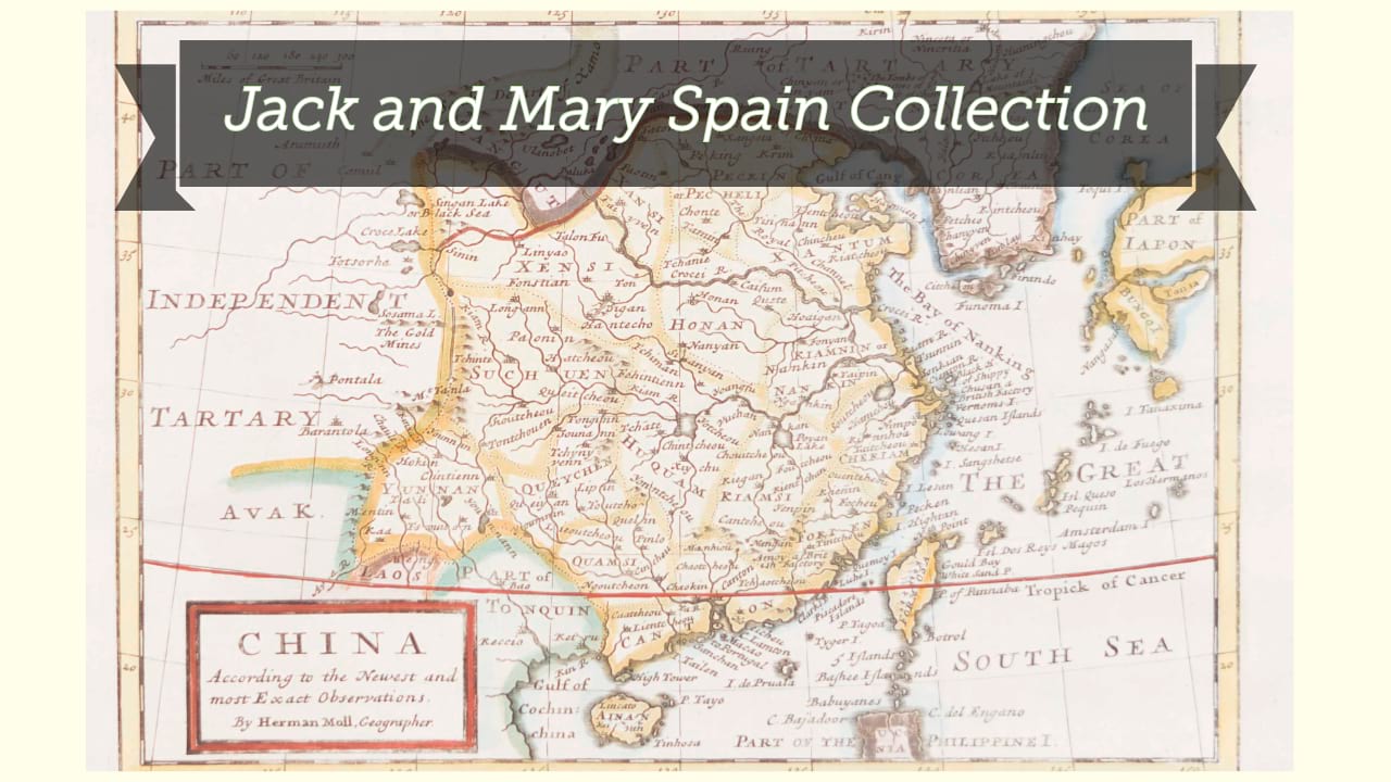
| Digital Bookplate | Bookplate for Jack and Mary Spain |
| Acquisitions source | Joyner Rare vault copy gift of Jack and Mary Spain, 6/19/2024 |
| Genre/form | Maps. |