
Asie / par N. Sanson d'Abbeville, Geog. de Roy.
| Author/creator | Sanson, Nicolas cartographer. |
| Other author | Peyrounin, A., engraver. |
| Format | Map |
| Publication Info | A Paris : Chez l'Auteur et chez P Mariette, rue S. Jacques a l'Esperance avec privilege du Roy pour vingt ans, 1650. |
| Description | 1 map ; 38 x 56 cm, on sheet 43 x 60 cm |
| Subjects |
| Cartographic data | Scale not given (E 45°--W 170°/N 75°--S 15°). |
| Local note | Joyner Rare vault copy is hand colored. |
| General note | Relief shown pictorially. |
| General note | "A Peyrounin sculp." |
| General note | Represents Korea as an island, "Corey." |
| General note | Appeared in: Duval. Cartes de geographie les plus nouvelles et les plus fideles (Paris : Chez l'auteur, 1667.)--Cf. Pastoureau, M. Atlas français, XVIe-XVIIe siècles, Duval II C 1667 (page 141). |
| General note | Depicts an extensive coastline of America stretching form Royaume d'Anian to Sierra Nievada, which is separated from Asia by the narrow Detroit d'Anian. The kingdoms of Anian, Quivira and Albion are shown. Japan is shown on the Teixiera model and Korea is depicted as an island.--Dealer description. |
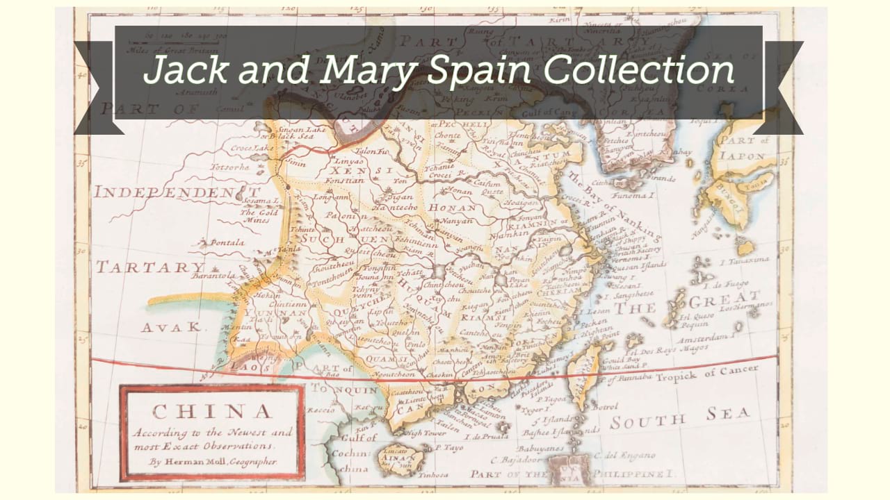
| Digital Bookplate | Bookplate for Jack and Mary Spain |
| References | Pastoureau, M. Atlas français, XVIe-XVIIe siècles, Duval II C 1667, #7 |
| References | Yeo, J. Mapping the continent of Asia, 43 |
| Acquisitions source | Joyner Rare vault copy gift of Jack and Mary Spain, 6/19/2024 |
| Genre/form | Early works. |
| Genre/form | Maps. |
| Genre/form | Maps. |
Availability
| Library | Location | Call Number | Status | Item Actions |
|---|---|---|---|---|
| Joyner | Rare Vault | G7400 1650 .S26 | ✔ Available | Request Material |