
India new wie es zu unsern zeiten erfaren unnd beschriben ist zu landt und zu wasser, mit onzäligen inseln gros und klein.
| Author/creator | Münster, Sebastian cartographer. |
| Other author | Petri, Heinrich, 1508-1579, printer. |
| Format | Map |
| Publication Info | [Basel] : [H. Petre], [1550-1567] |
| Description | 1 map ; 26 x 35 cm on sheet 31 x 42 cm |
| Subjects |
| Variant title | Laender Asie nach irer gelegenheit biss in Indiam werden in disser tafel verzeichnet |
| Variant title | Länder Asie nach irer gelegenheit biss in Indiam werden in disser tafel verzeichnet |
| Cartographic data | Scale indeterminable. |
| Local note | Joyner Rare vault copy is hand colored. |
| General note | At head of title: Die länder Asie nach irer gelegenheit biss in Indiam werden in disser tafel verzeichnet. |
| General note | Wood-engraving. |
| General note | Title from verso. |
| General note | Map 12 of the German ed. of his Cosmographia universalis, published in various eds. between 1550 and 1567. |
| General note | Based on the recent geographical discoveries by Portuguese navigators, and the outline of the Asian mainland is relatively well-established. India appears as a peninsula and Sri Lanka, here identified as Zaylon, is correctly proportioned. Malacca is correctly located on the Malay Peninsula, and the coastline of southern China is fairly accurate.--Cf. Davison. |
| General note | Illustrations include a sea monster and a mermaid. |
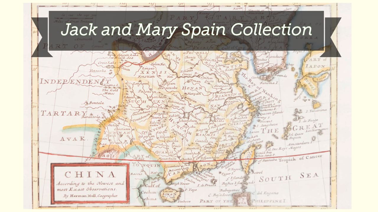
| Digital Bookplate | Bookplate for Jack and Mary Spain |
| References | Davison, J. Mapping the continent of Asia, 3. |
| Acquisitions source | Joyner Rare vault copy gift of Jack and Mary Spain, 6/19/2024 |
| Genre/form | Maps. |
Availability
| Library | Location | Call Number | Status | Item Actions |
|---|---|---|---|---|
| Joyner | Rare Vault | G7400 1550 .M86 | ✔ Available | Request Material |