
China : the interior, chiefly from du Halde and the Jesuits, 1710 to 1718, and the sea coast from modern authorities / engraved by J. & C. Walker.
| Other author | Du Halde, J.-B. (Jean-Baptiste), 1674-1743, cartographer. |
| Other author | Knight, Charles, 1791-1873, publisher. |
| Other author | J. & C. Walker (Firm), engraver. |
| Format | Map |
| Publication Info | London : Chas. Knight & Co., [1845?] |
| Description | 1 map ; 38 x 31 cm on sheet 41 x 35 cm |
| Supplemental Content | Library of Congress copy |
| Subjects |
| Cartographic data | Scale [ca. 1:7,800,000] (E 100°--E 120°/N 40°--N 20°). |
| Local note | Joyner Rare vault copy is hand colored. |
| General note | Relief shown by hachures. |
| General note | Prime meridian: Greenwich. |
| General note | Scale given in "Chinese li (according to M. de Prony) 192-1=one degree" and "English miles, 69-1=one degree." |
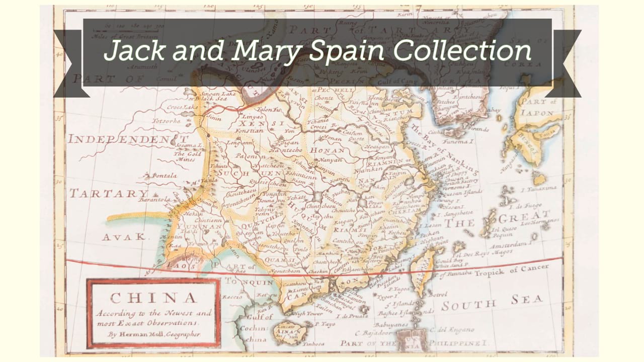
| Digital Bookplate | Bookplate for Jack and Mary Spain |
| Other forms | Available also through the Library of Congress Web site as a raster image. |
| Acquisitions source | Joyner Rare vault copy gift of Jack and Mary Spain, 6/19/2024 |
| Genre/form | Maps. |
| Genre/form | Maps. |
| LCCN | 2006629384 |