
China and Japan / by Keith Johnston, F.R.S.E.
| Author/creator | Johnston, Alexander Keith cartographer. |
| Other author | W. & A.K. Johnston Limited, engraver, printer. |
| Format | Map |
| Publication | Edinburgh ; London : William Blackwood & Sons, [between 1860 and 1869?] |
| Manufacture | Edinburgh : Engraved and printed by W. & A.K. Johnston |
| Description | 1 map ; 32 x 42 cm on sheet 37 x 47 cm |
| Subjects |
| Cartographic data | Scale approximately 1:8,000,000. (E 96°--E 134°/N 40°--N 18°) |
| Partial contents | Inset: Islands of Japan (Scale approximately 1:11,000,000) |
| Local note | Joyner Rare vault copy is hand colored. |
| General note | Relief shown by hachures. |
| General note | Prime meridian: Greenwich. |
| General note | Scale given in Geog. & Italian miles, 60=1 degree; Chinese li, 192.86=1 degree; English statute miles, 69.16=1 degree. |
| General note | Shows provinces of China, and Korean peninsula with less detail. |
| General note | In upper right margin: "29". |
| General note | "Note: By Treaty of Nanking, 1842 ... Hong Kong was ceded to Britain. By Treaty of Tiensin, 1858, the ports of Neu-chowang [and 5 others] were opened to commerce. By Convention of Peking, 1860, Tien-sin was opened to trade, and Cow-loon was ceded to Britain."--Printed note under title. |
| General note | "The ports opened by Treaty of Yedo, 1858, are Hakodadi [and 3 others]. Simoda was opened to American commerce by treaty, 1854."--Printed note on inset. |
| General note | Lacking submarine telegraph lines noted on later versions of this map. |
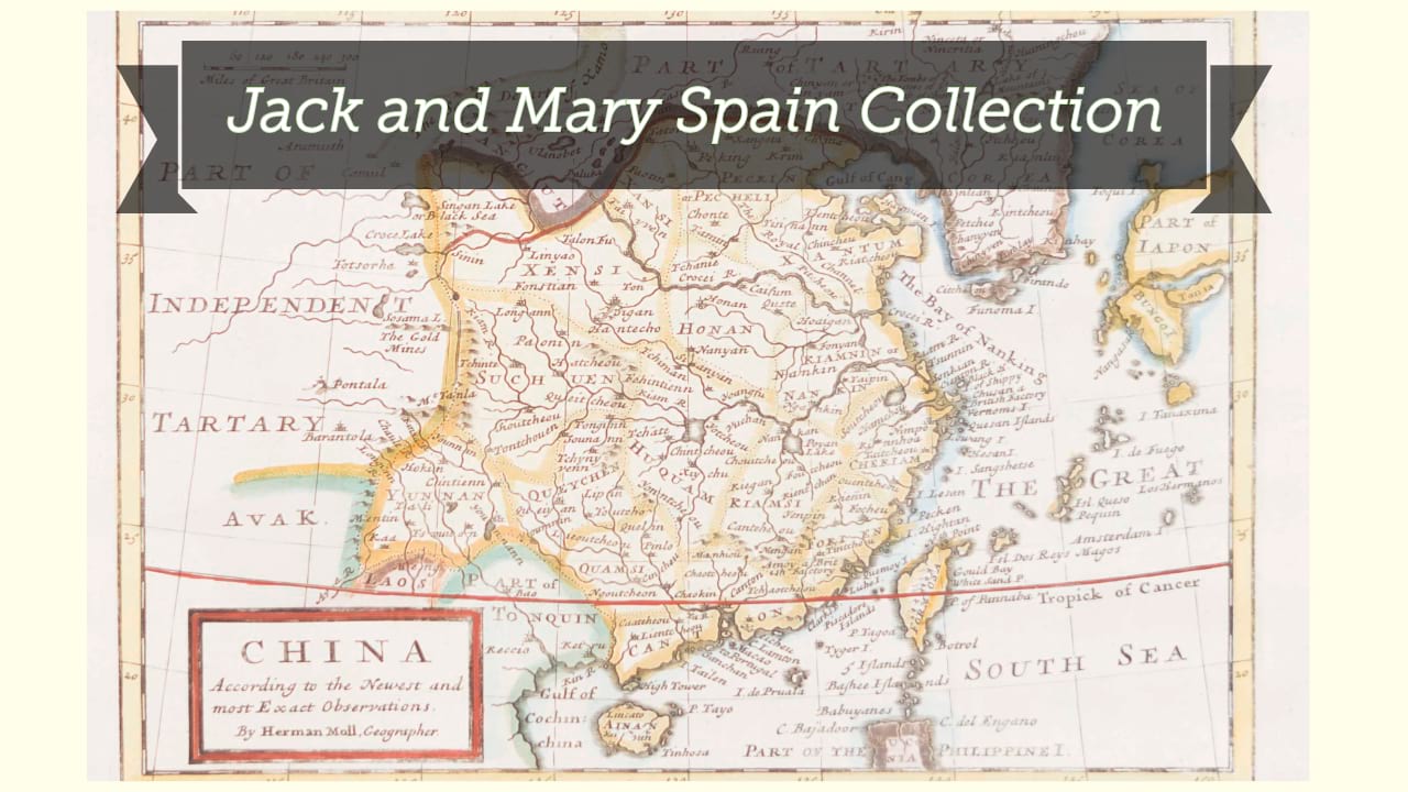
| Digital Bookplate | Bookplate for Jack and Mary Spain |
| Acquisitions source | Joyner Rare vault copy gift of Jack and Mary Spain, 6/19/2024 |
| Genre/form | Maps. |
Availability
| Library | Location | Call Number | Status | Item Actions |
|---|---|---|---|---|
| Joyner | Rare Vault | G7820 1860 .J64 | ✔ Available | Request Material |