
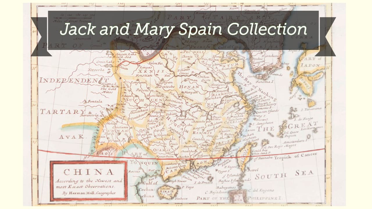
A map of Chinese Tartary, with Corea / by Samuel Dunn.
| Author/creator | Dunn, Samuel |
| Other author | Sayer, Robert, 1725-1794. |
| Other author | Robert Sayer and John Bennett (Firm) |
| Format | Map |
| Publication | London : Printed for Robt. Sayer, No. 53 in Fleet Street, as the act directs, 10 January 1774. |
| Description | 1 map ; 30 x 43 cm on sheet 36 x 48 cm |
| Subjects |
| Cartographic data | Scale approximately 1:10,400,000. |
| Local note | Joyner Rare vault copy is hand colored. |
| General note | From: Dunn's New atlas of the mundane system, or, Of geography and cosmography (London : R. Sayer and J. Bennett, 1778). |
| General note | Relief shown pictorially. |
| General note | Prime meridian: Ferro. |
| General note | Scale given in Common Lys of China 250 in a degree, Wersts of Russia 105 in a degree, and British Miles 69 1/2 in a degree. |
| General note | Shows the northeast quadrant of China, most of Mongolia, the Korean peninsula, and southern Siberia including Sakhalin, here labelled "Sahalien Ula Hata". Northern Japan is also shown but without much detail, with Hokkaido labelled "Jeso Gasima." |
| General note | In upper right margin: "30". |
| Digital Bookplate | Bookplate for Jack and Mary Spain |
| Acquisitions source | Joyner Rare vault copy gift of Jack and Mary Spain, 6/19/2024 |
| Genre/form | maps (documents) |
| Genre/form | Maps. |
| Genre/form | Maps. |
Availability
| Library | Location | Call Number | Status | Item Actions |
|---|---|---|---|---|
| Joyner | Rare Vault | G7820 1774 .D86 | ✔ Available | Request Material |