
Tabula Tartariae et majoris partis regni Chinae / edita a F. de Wit. ; Lhuilier fecit.
| Author/creator | Wit, Frederik de cartographer. |
| Other author | Luillier, J., engraver. |
| Format | Map |
| Publication | Amsterdam : Frederick De Wit, [approximately 1680?] |
| Description | 1 map ; 42 x 53 cm on sheet 50 x 59 cm |
| Supplemental Content | British Library copy |
| Subjects |
| Cartographic data | Scale approximately 1:12,000,000. |
| Local note | Joyner Rare vault copy is hand colored. |
| General note | Relief shown pictorially. |
| General note | From |
| General note | No scale given. |
| General note | Shows Asia from the Caspian Sea and Afghanistan through China, Mongolia, Korea, Japan, and Siberia. Eastern Russia is truncated with no Kamchatka peninsula. "Yedso" is shown according to the voyages of De Vries.--Dealer description. |
| General note | In upper right margin: manuscript number 199. |
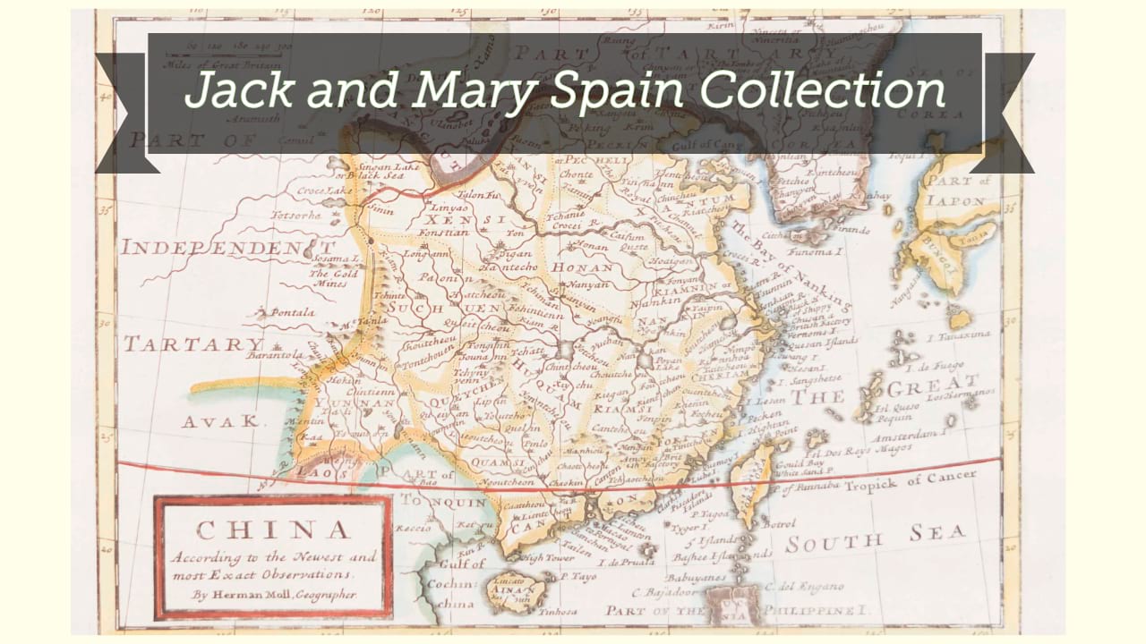
| Digital Bookplate | Bookplate for Jack and Mary Spain |
| Acquisitions source | Joyner Rare vault copy gift of Jack and Mary Spain, 6/19/2024 |
| Genre/form | Maps. |
| Genre/form | Maps. |
| LCCN | 2013591195 |
Availability
| Library | Location | Call Number | Status | Item Actions |
|---|---|---|---|---|
| Joyner | Rare Vault | G7820 1680 .W42 | ✔ Available | Request Material |