
L'Empire de la Chine avec la Tartarie chinoise : d'après l'atlas chinois..
| Author/creator | Bonne, Rigobert cartographer. |
| Other author | Santini, P. |
| Other author | Remondini (Firm) |
| Format | Map |
| Publication Info | A Paris : par M. Bonne ; À Venise : par P. Santini, chez Mr. Remondini, 1779. |
| Description | 1 map ; 46 x 52 cm on sheet 52 x 74 cm |
| Supplemental Content | Library of Congress copy |
| Subjects |
| Cartographic data | Scale [ca. 1:8,000,000]. |
| Local note | Joyner Rare vault copy is hand colored. |
| General note | Relief shown pictorially. |
| General note | In upper right corner: P. II 34. |
| General note | Shows China including "I. Formose" and "Haynan," as well as the Korean peninsula and Japan, with Hokkaido labeled "Jeso-Gasima" and an oversized Okinawa labeled "Lequeo." |
| General note | From Santini's Atlas universel dressé sur les meillures cartes modernes. |
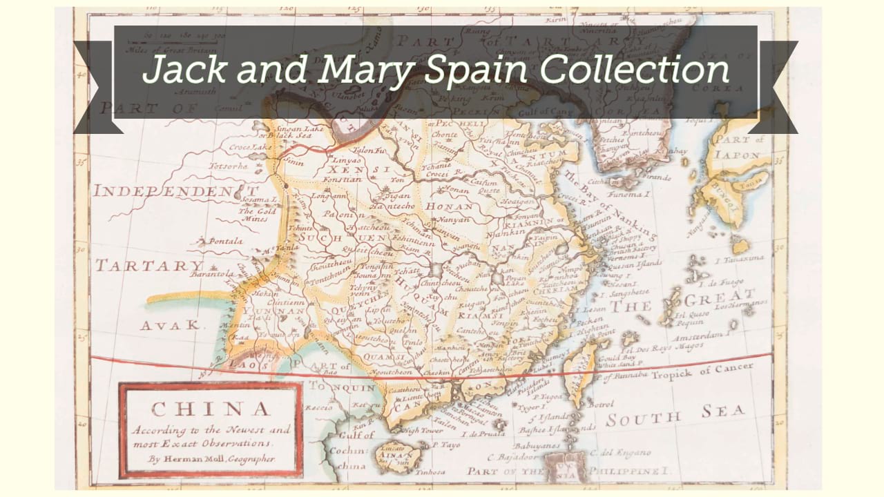
| Digital Bookplate | Bookplate for Jack and Mary Spain |
| Other forms | Available also through the Library of Congress Web site as a raster image. |
| Acquisitions source | Joyner Rare vault copy gift of Jack and Mary Spain, 6/19/2024 |
| Genre/form | Early maps. |
| Genre/form | Maps. |
| Genre/form | Maps. |
| LCCN | 2006635530 |
Availability
| Library | Location | Call Number | Status | Item Actions |
|---|---|---|---|---|
| Joyner | Rare Vault | G7820 1779 .B66 | ✔ Available | Request Material |